
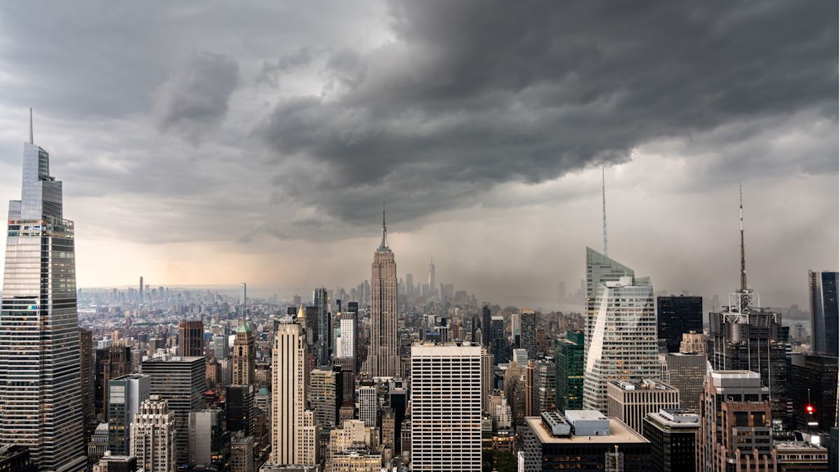
New York City emergency officials and municipal leaders have mobilized widespread safety measures and urged residents across the five boroughs to brace for intense rainfall and dangerous flash flooding on Sunday morning. A regional Flood Watch remained in effect through midday as severe thunderstorms swept into the area, prompting immediate travel disruptions and widespread concern for flood-prone neighborhoods.
The hazardous weather conditions quickly impacted the region's major transportation hubs, triggering ground stops at John F. Kennedy International Airport, LaGuardia Airport, and Newark Liberty International Airport. Aviation officials instituted the pauses as heavy cloud cover, intense downpours, and thunderstorm activity created unsafe operating conditions across the metropolitan airspace.
In an effort to protect residents vulnerable to rising waters, the city opened 51 overnight emergency shelters on Saturday evening. Municipal authorities specifically designed the shelter rollout to assist individuals and families living in basement apartments and other below-grade housing units, which face heightened vulnerability during sudden, high-volume downpours.
City officials emphasized that the emergency facilities are fully accessible and pet-friendly. Both service animals and household pets are permitted at all 51 shelter locations, ensuring that pet owners can seek safe accommodations without being forced to leave their animals behind in potentially hazardous conditions.
Meteorologists and city forecasters warned that the most dangerous window for torrential rain and rapid flash flooding spans between 5 a.m. and 10 a.m. on Sunday. The National Weather Service projected total rainfall accumulations ranging between 1.5 and 3 inches across the city, with the heaviest concentrations expected to impact eastern Brooklyn and Queens. Localized areas could see rainfall amounts exceeding those baseline projections.
Beyond total accumulation, officials expressed acute concern over the anticipated intensity and speed of the precipitation. Rainfall rates are forecast to reach 1 to 2 inches per hour, with the most potent storm cells capable of dumping between 2 and 2.5 inches of rain within a single hour. Such rapid rates are known to quickly outpace the intake capacity of urban drainage systems.
Anticipating the severe weather, NYC Emergency Management activated the city’s Flash Flood Emergency Plan on Thursday. The early activation allowed city agencies several days to coordinate logistics, position emergency equipment, and dispatch municipal crews to clear debris from street catch basins across all five boroughs ahead of the storm.
Mayor Zohran Mamdani outlined the extensive overnight preparations taking place across the city, emphasizing that municipal workers would be active on the streets throughout the night to protect neighborhoods before the heaviest rain arrived.
"Our crews are clearing catch basins, agencies are preparing and emergency teams will be working through the night while most of the city sleeps," Mayor Mamdani said. He urged residents in below-ground housing to take immediate precautions before heading to sleep, emphasizing the importance of exit awareness and rapid relocation if water levels rise.
The mayor also provided specific instructions for morning commuters and community members, advising motorists to allocate extra travel time and strictly avoid driving through flooded roadways. He further encouraged New Yorkers to check on neighbors who might require assistance and to stay informed by subscribing to real-time alerts through the city’s emergency notification system, accessible by texting NOTIFYNYC to 692-692.
NYC Emergency Management Commissioner Christina Farrell issued a stark warning regarding the rapid onset of flash flooding, highlighting that dangerous street conditions can materialize with little warning.
"Heavy rain can overwhelm streets and drainage systems in minutes, and the most intense rain is expected when many New Yorkers will be asleep," Farrell stated. She emphasized that the strongest morning storms could drop over two inches of rain in an hour, urging the public not to delay until water is actively rising before putting a safety plan into action.
Officials warned that the intense rainfall rates are likely to cause significant ponding on highways and local streets, along with isolated to scattered flash flooding. High-risk zones include low-lying neighborhoods, highway underpasses, locations with poor drainage infrastructure, and communities that have repeatedly experienced flooding during past major storms.
Regional weather conditions are projected to improve gradually by Sunday afternoon as the storm system travels east of the city. However, officials noted that residual standing water and hazards could persist on roadways even after the heaviest precipitation subsides.
Throughout the weather event, city authorities continue to advise New Yorkers to steer clear of flooded streets, maintain full battery charges on mobile devices, consistently track updated weather forecasts, and maintain contact with relatives and neighbors. City leadership reiterated that anyone facing immediate physical danger or life-threatening conditions should immediately dial 911 for emergency assistance.






(0)